|

|
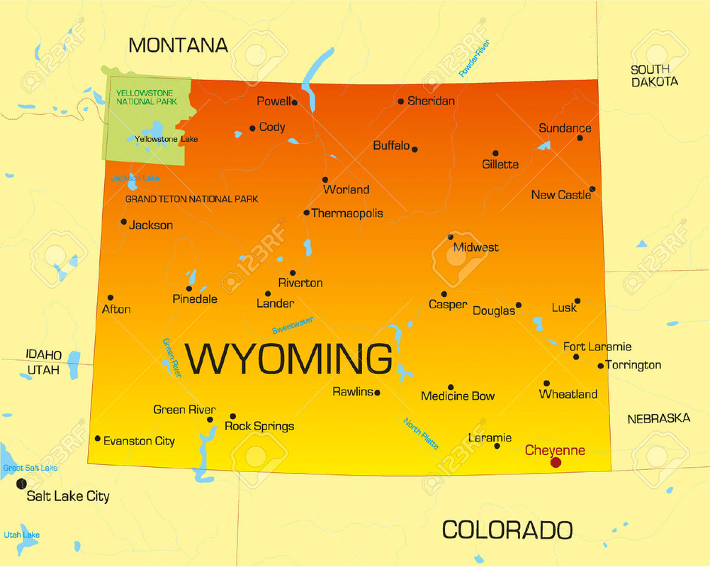
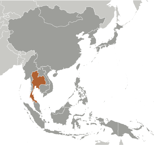
Thailand is slightly more than twice the size of Wyoming. Thailand is 198,117 square miles while Wyoming is 97,818 square miles. |
Physical Geography of Thailand
- The total area of Thailand is 513,120 sq km.
- The land area of Thailand is 510,890 sq km.
- The water area of Thailand is 2,230 sq km.
- The countries that share a border with Thailand are Burma, Cambodia, Laos, and Malaysia.
- The total distance of land boundaries is 5,673 km.
- The total distance of the coastline of Thailand is 3,219 km.
- The climate in Thailand is tropical with its rainy, warm, cloudy southwest monsoon (middle of may to September). Thailand can be dry and cool, the northeast monsoon (November to the middle of March). Southern isthmus is always hot and humid.
- The terrain of Thailand is central plain with Khoart Plateau is in the east and mountains are elsewhere.
- The lowest point of Thailand is the Gulf of Thailand at 0 m.
- The highest point of Thailand is Doi Inthanon at 2,576 m.
