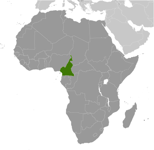
Regional Map |
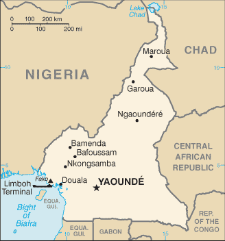
Country Specific Map |

Cameroon is slightly larger than California. Cameroon is 183,568 square miles while California is 163,696 square miles. |
Physical Geography of Cameroon
- The total area of Cameroon is 475,440 sq km.
- The land area of Cameroon is 472,710 sq km.
- The water area of Cameroon is 2,730 sq km.
- The countries that border Cameroon are Central African Republic, Chad, Republic of Congo, Equatorial Guinea, Gabon, and Nigeria.
- The total distance of boundaries of Cameroon is 5,018 km.
- The total distance of coastline of Cameroon is 402 km.
- The climate of Cameroon is varies with the terrain. It goes from tropical along the coast to hot and semiarid in the north.
-The terrain of Cameroon is diverse. It has mountains in the west, plains in the north, plateau in the center, and a coastal plain in the southwest.
-The lowest elevation of Cameroon is the Atlantic Ocean at 0 m.
-The highest elevation of Cameroon is Fako at 4,095 m.
