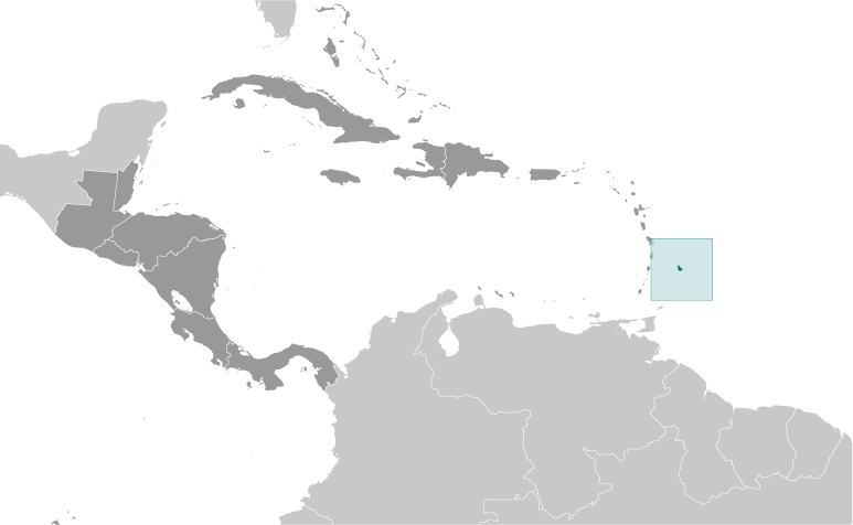
Regional Map |
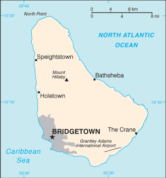
Country Specific Map |
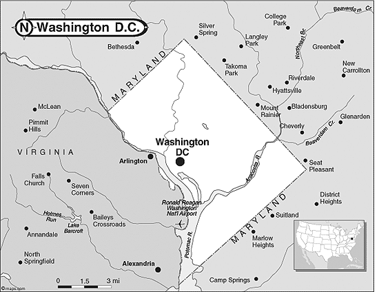
Barbados is 2.5 times bigger than Washington D.C. While Barbados has 166 square miles Washington D.C. only has 68.3 square miles.
|
The Physical Geography of Barbados
- The total area of Barbados is 430 km.
-The land area of Barbados is 430 km.
- The water area of Barbados is 0 km.
- Barbados is surrounded by the Atlantic Ocean and the Caribbean Sea.
- The total distance of land boundaries of Barbados is 0 km.
- The total distance of the coastline of Barbados is 97 km.
- The climate in Barbados tends to be tropical and often times rainy. Mostly during the months of June, July, August, September, and October.
- The terrain of Barbados is mostly flat and rises softly to a central highland region.
- The lowest point of elevation in Barbados is the Atlantic Ocean at 0 m.
- The highest point of elevation in Barbados is Mount Hillaby at 336 m.
